Road Maintenance


What happens when you add some of the world’s most advanced vehicle friction and roughness measurement into road maintenance? The answer is that you open up a whole new world of possibilities. In fact, we just did! Based on state-of-the-art research in friction measurement, Road Surface Information (RSI) is a groundbreaking technology taking road maintenance to a whole new level, optimizing resource utilization and reducing environmental impact.
Real-time Road Surface Information
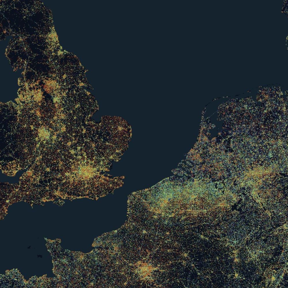
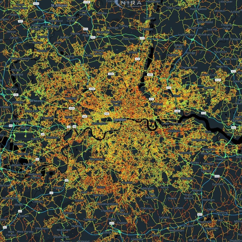
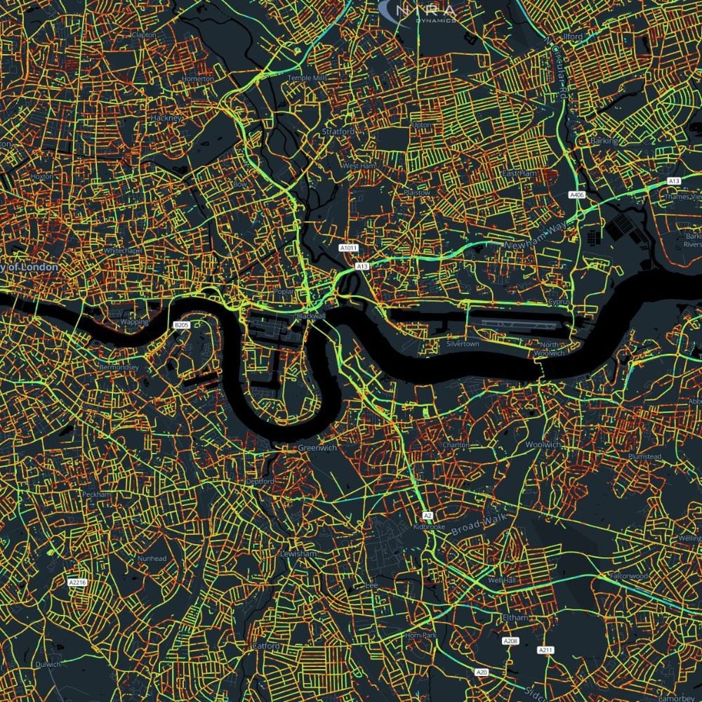
Using anonymized data from regular passenger vehicles, RSI gathers real-time road information. By combining road friction, road roughness, potholes and road bumps, we create a set of map layers describing the road surface conditions in detail. Winter maintenance actors will be able to get real-time friction and actually KNOW what the situation is on the roads. Quick feedback of performed actions gives confidence to decision makers. Summer maintenance actors will be able to be detect defects on roads before they are dangerous for drivers. Road health statistics will enable automated warning systems for road surface deterioration.

Forecasting of road conditions
As a contractor, you already know about Road Weather Information Systems (RWIS), and they have surely helped you plan your measures in the past. And they will not alert you to the ice patches on that particular shadowy stretch behind the trees, either. RSI by NIRA can bridge the gap between the RWIS stations. And by adding windshield wiper data and ambient temperature, you get a much better image of the status of the road. By combining and assessing data from connected vehicles with a multitude of reliable sources, such as RWIS, radar, satellite images and weather prognoses you not only get a complete picture of the current road status. We partner with providers of Maintenance Decision Support Systems, so that all the data can be available in the tool that you as a contractor is using right now. You can get accurate prognoses of future road surface conditions – invaluable whenever you’re planning measures ahead of time.
RSI put into use in winter maintenance
Road Surface Information data can be used for many things, but these are some of the use cases already available: Real-time alerts allowing salt truck instructions, traffic redirection and traffic sign control. This is perfect for making sure no areas have been missed or if slipperyness warnings have to go out to the public. Traffic management centers does not have to rely on manual reports of changes in road conditions, but can actually get automated warnings directly into their systems.
Statistical analysis allowing seasonal and geographical overview. RSI allows this sort of analysis to help decision makers, DOTs, road contractors and traffic management centers perform better and improve over time. The possibility is there to automate the monitoring of road conditions, both snow and ice, but also road roughness and deterioration.
Evaluation of performed actions for maintenance area comparison and RFQ input. How are different salt mixes performing, how are new salting trucks comparing to old, how quickly can one area get the roads cleared compared to other? RSI allows a truly objective way to measure these KPIs and many others.
Road Health
Using RSI data to improve summer maintenance
Road Health utilizes road roughness, road friction, pothole and roadbump data to improve traffic safety and decrease operational costs. It is an automated and objective system for road monitoring. What are the benefits of using Road Health by NIRA?
Road scanning is done continously. There is no longer a need to use measurement wheels or road profilers. Using RSI vehicle data means higher frequency of data and continuous updates. Daily updates is possible as opposed to annual measurements. Realtime updates is key to be able to perform predictive maintenance of roads.
Actual roughness instead of measured roughness. By using regular passenger vehicles for data collection, the data collected represents how the cars and its passengers experience the roughness of the road. This gives a more accurate view of the quality of the road.
Costs are decreased. Using RSI for IRI scanning can cut costs for road scanning by more than 50%. No more expensive measurement equipment, no need for planning the measurements. The measurements are done automatically and the data is provided in our customer APIs.
How taxis can make our roads safer.
Two winters in a row, taxis have been cruising the roads of Sweden, automatically gathering vital road information using software from NIRA.
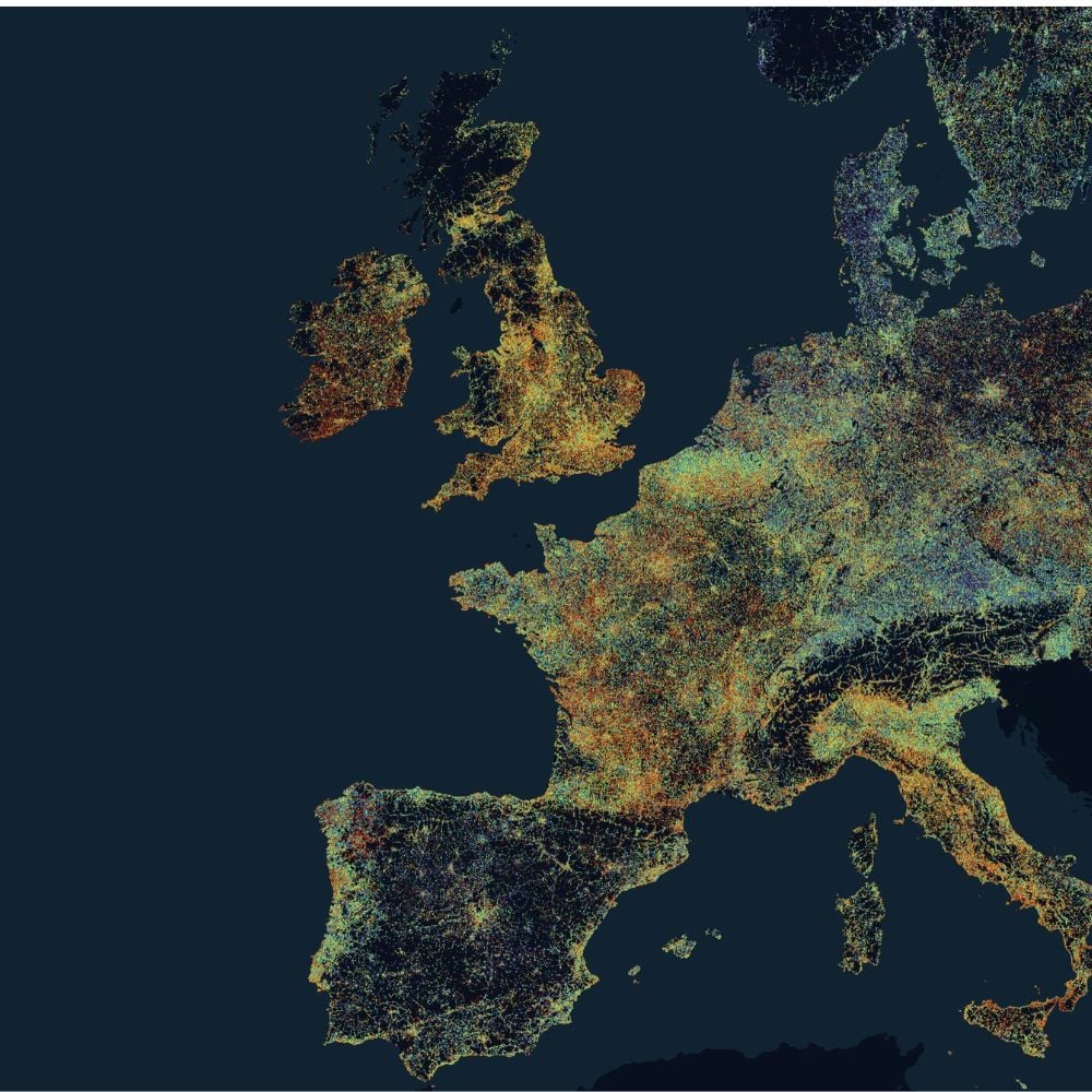
With Road Surface Information (RSI) vital road data, such as friction, can be gathered completely without the use of cameras. The data can then be shared in a connected vehicle cloud and used by drivers and road authorities alike – significantly increasing the safety on our roads. The more cars using RSI the better, of course – as that equals more data – which is why NIRA has teamed up with Actia and the Swedish Transport Administration to provide a large number of taxis with the software. A process which is actually very simple; as the software can be installed via the OBD interface of the car. The project, which began in the winter 2016/2017, was instantly successful, as more than 10 000 kilometers of data could be collected. During the winter 2017/2018, that number was increased to a whopping 24 000. During 2018/2019, the data collected was put into road maintenance in Sweden, giving the Swedish Transport Administration tools to evaluate how well road maintenance actions are working in different geographical areas. But as we see it, we have only just begun. During 2019/2020 we are connecting even more fleets, not only taxis. Rental car companies, fleet management systems, OE car installations; they will all be collecting vital road data all over Europe and the US. It is safe to say our roads will be mapped more closely than ever before.


-
Björn Zachrisson